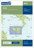
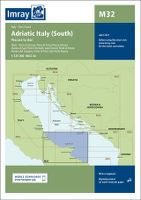
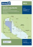
Imray Charts

Imray charts set the standard for the leisure sector with award-winning cartography which features our distinctive colour scheme, coloured light sectors and fine overprinted latitude and longitude grids to make plotting easier. Most Imray charts are published on Pretex, a partially synthetic paper, which folds well and is durable in damp conditions. It may be drawn on in both soft pencil and ballpoint pen. Charts are correct to the date of printing and are supported by corrections which may be downloaded from this web site until a new edition is compiled.
Please contact NAUTIC for more information
Please contact NAUTIC for more information
186 Products
Unitprice with VAT
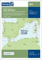 IMRAY M3 - ISLAS BALEARES - FORMENTERA, IBIZA, MAL
Product Number M3
In stock
345,00
Unitprice with VAT
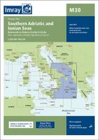 IMRAY M30 - SOUTHERN ADRIATIC AND IONIAN SEA - DUB
Product Number M30
In stock
345,00
Unitprice with VAT

