British Admirality
In our BA-chart range you'll find SOLAS-compliant nautical charts covering the entire world!
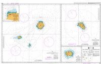
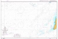
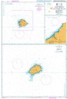
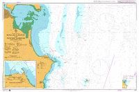
The British Admirality Nautical Charts has been the standard source of navigational information for the commercial shipping industry over the world for a long time. If you're required by the authorities to have SOLAS-compliant charts onboard, BA-charts are the ones for you. The series consist of the full spectrum of scales, from large-scale planning- and crossing charts to detailed coastal- and harbour charts covering the entire world. Nautic-Center offers the whole range corrected in compliance with the requirements from the authorities. To help you find the right charts, open the British Admirality Digital Chart Catalogue below or contact our expert.
Admiralty Digital Chart Catalogue
Helen Wahlstedt
3509 Products
Excl. VAT


